Rotterdam Architecture Maps
Rotterdam architecture and urban design in maps and routes
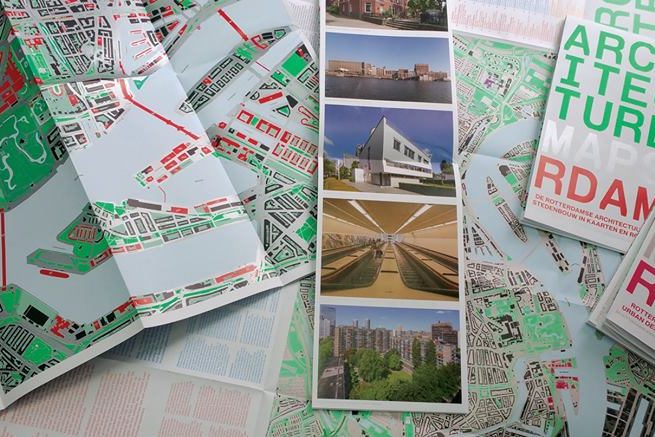
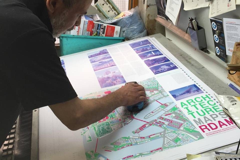
Rotterdam Architecture Maps surveys the city’s best architecture and urban design in maps, photographs and texts. Some 200 sites showcase the best projects in the city centre, Kop van Zuid and Katendrecht districts. The numerous attractions include squares, parks, bridges, tunnels, houses, shops, offices, cafés, restaurants, theatres and museums. Marked out on the large map of the city bordered by motorways are four themed routes. Travel from project to project and savour the atmosphere and character of distinctive Rotterdam districts: green oases in East, industrial architecture in West, experimental housing in South, and urban harmony and recreation in North.
This map is a production of OMI* and a publication of Perplekcity. Available at NAi Booksellers and selected bookshops.
* OMI, the public centre for architecture and city culture, is an initiative of Perplekcity, UrbanGuides and Ossip Architectuuur Fotografie.


